ORTHOPHOTOS
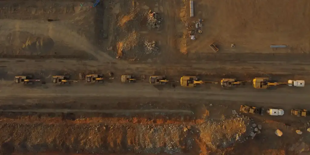
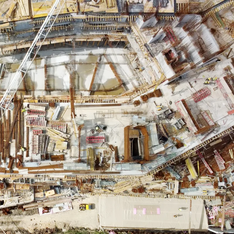
At Hecaworks, we use state-of-the-art drone technology to create highly accurate Orthophotos, which are distortion-free, georeferenced aerial images that function as true-to-scale maps. Unlike standard photographs that warp landscapes, our meticulously processed orthophotos correct for terrain elevation and camera tilt, ensuring every point on the image is geometrically correct and measurable with exceptional, often centimeter-level, precision. This provides industries from construction and surveying to agriculture and infrastructure management with current, high-resolution visual intelligence necessary for accurate planning, progress monitoring, and seamless integration into Geographic Information Systems.
Why Orthophotos Matter
● Understand terrain structure with precision.
● Plan safer, more efficient site development.
● Make data-driven decisions with confidence.
They set the foundation for accurate measurements, planning, and reporting – all with the clarity your team can rely on.
Orthophotos effectively bridge the gap between regular aerial imagery and technical survey maps, delivering a powerful tool for various applications.
Our 4K high-quality orthophotos deliver unmatched clarity by combining the rich visual detail of aerial photography with the geometric accuracy and consistent scale of a true map.
Key Benefits of Orthophotos:
● Data-driven strategies.
● Progress documentation.
● Smarter, safer decision-making.