CONTOUR MAPS
Contour maps transform complex, 3D terrain into clear, 2D landscape representations using contour lines that connect points of equal elevation. These lines reveal the true shape, elevation, and slope of the earth, where closely spaced lines indicate steepness. This precision is indispensable across fields—from engineering design (calculating cut/fill volumes) and environmental monitoring (drainage) to navigation and large-scale planning, serving as the definitive blueprint for informed decisions.
With accurate contour mapping, you can:
- Understand terrain structure with precision.
- Plan safer, more efficient site development.
- Make data-driven decisions with confidence.
Contour Data for Geographers and Environmental Specialists
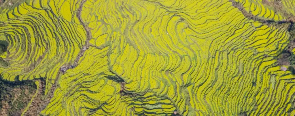
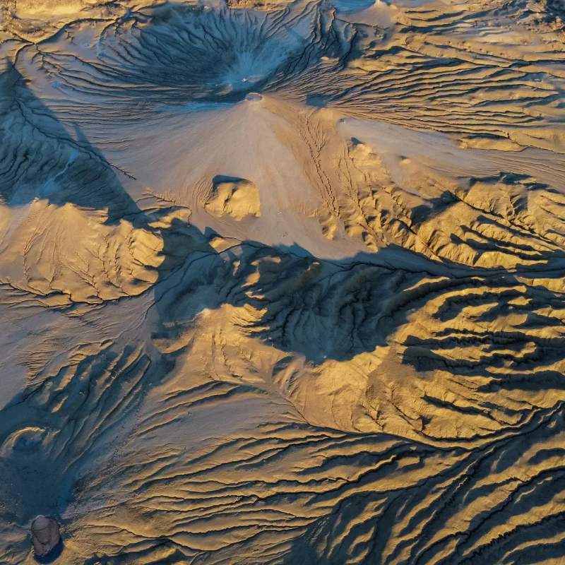
Geographers and environmental specialists rely heavily on contour data to comprehensively study landforms and track natural changes over time. This essential data also allows them to accurately track erosion and assess soil stability, which is critical for land-use planning and conservation efforts. Furthermore, contour information is fundamental for effective management of water resources, helping to map watersheds and surface flow, and is crucial for monitoring groundwater contamination pathways beneath the surface.
Mining and oil/gas operations use contour maps to:
- Identify mineral-rich zones.
- Plan excavation and drilling with accuracy.
- Optimize extraction for cost and safety.
Contours reveal topographic flow patterns, enabling teams to:
- Identify watershed boundaries.
- Predict water movement.
- Evaluate drainage risks.
- Assess flood-prone areas.