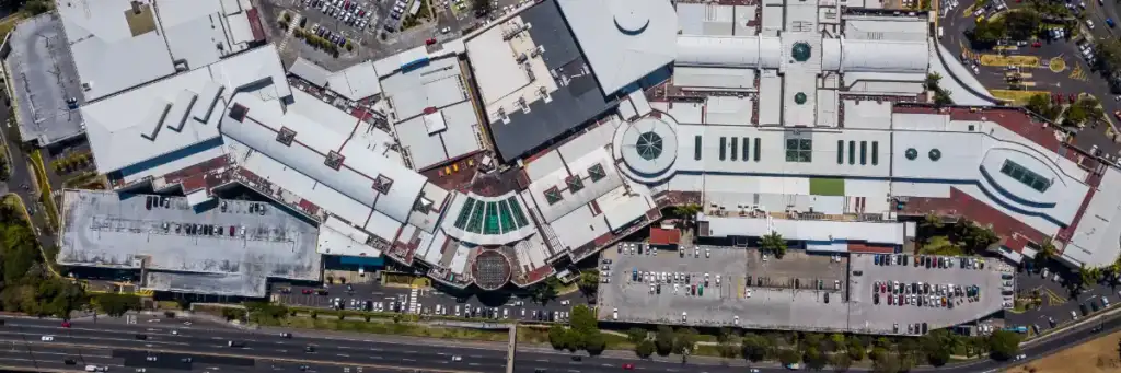
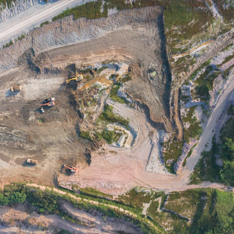
Orthorectified imagery is a sophisticated process that transforms ordinary aerial photographs into highly accurate, map-ready visuals. This is achieved by meticulously correcting two main issues: perspective distortion (caused by the camera angle) and terrain distortion (caused by variations in the earth’s surface, like hills and valleys). By referencing a high-fidelity Digital Elevation Model (DEM) and advanced photogrammetry, this correction creates a geometrically precise image where all features are positioned with exceptional accuracy. The result is a seamless image mosaic, or orthomosaic, which provides a true-to-scale, measurable view of every centimeter of your site, making it ideal for accurate measurements, planning, and sophisticated Geographic Information Systems (GIS) analysis.